Online coastal inundation mapping tool launched
2 Mar 2016
Waikato Regional Council has today officially launched a ground-breaking online tool to help people manage the potential impacts of projected sea level rise scenarios on Waikato’s coastal properties.
Besides climate change-induced sea level rise, the coastal inundation tool will let people assess storm effects. Information on tsunami inundation for selected areas will also be available on the tool.
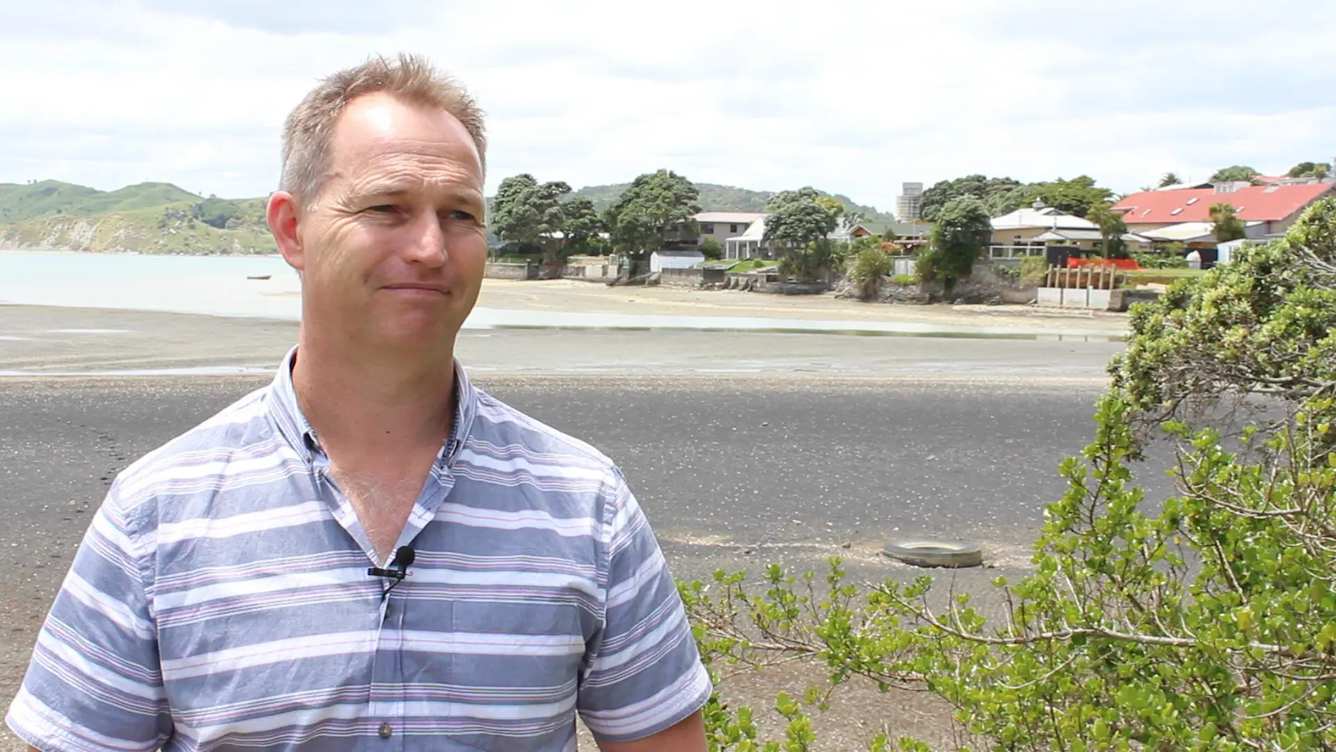
“Sea level rise is projected in our coastal communities over coming decades and our online tool will be valuable in helping local councils, communities and individual property owners to manage the risk involved. It will also help them make judgments about the risks posed by storm surges and tsunami,” said senior regional hazards advisor Rick Liefting.
“There’s been high demand from local councils and others stakeholders for this type of information and our new tool is in part a response to that. It’s also part of the council’s regional hazards programme’s general role to provide information to the community about hazards and help people to manage risk.”
Council chairperson Paula Southgate, who has been involved in presenting the new tool to local councils, said it had been well received by them. “They have found it informative and useful. It will help them make wise decisions in future.”
Current guidance from NIWA and the Ministry for the Environment is that projected sea level rise in New Zealand will be half a metre over the next 50 years and a metre over the next century.
The online tool will allow people to self-select how different levels of sea level rise may generally affect their coastal areas and individual properties. It won’t, however, make predictions about when such sea rise levels may be achieved. People can choose for themselves what the most likely water levels will be over what time frame and make their own judgment, based on advice from a range of agencies, on whether those scenarios might actually occur.
But Mr Liefting stressed the tool – which will be regularly updated as new data comes to hand - is not intended to provide specific information for defining actual coastal inundation hazards on individual properties.
“The tool also does not include the effects of waves, which can be a significant component to assessing coastal inundation hazards. So the tool will basically give a ballpark estimate to people and indicate where further hazard analysis is required. Projected sea level rise is likely to exacerbate the situation in already at risk areas and significantly increase risk in other areas. So planning now for the future allows everyone more time to manage impacts as best we can.”
Mr Liefting said he did not believe making the inundation information more easily available via an online tool would affect property values or insurance rates.
“The information used in the coastal inundation tool has been publicly available for some time. What we’re doing is making that information more easily accessible in a generalised way for the public and others to use.
“The tool is there for people to better understand the ‘what if’s’ and start the conversation about how projected sea level rise may affect our coastal areas. Users of the tool will still need to do their home work about the actual risks posed by various hazards in specific locations before coming to conclusions.
The tool is accessible at www.waikatoregion.govt.nz/coastal-inundation-tool/
